320,000 Acres, 2,609 Families, 3,390 Graves | Kentucky Lake, 1944
The film of this episode premieres September 14, 2026 on YouTube. The documents, the transcript and the sources are below now.
In January 1937 the Ohio River flood put the main street of Birmingham, Kentucky under water. Within eight years the federal government owned the town — and 320,000 acres around it.
Transcript
The water, coming
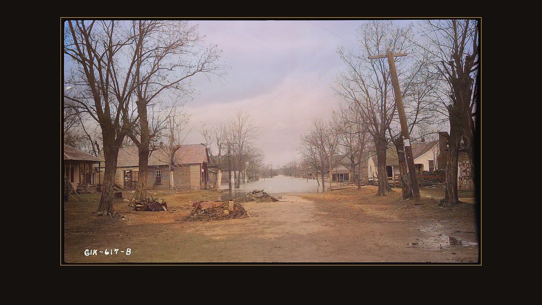
R001 Flooded Homes
TVA photographer · Birmingham, Ky., 1937 · National Archives, RG 142 · AI-colorized. View the original.

January, nineteen thirty-seven. This is the main street of Birmingham, Kentucky. The river is standing at the end of it.
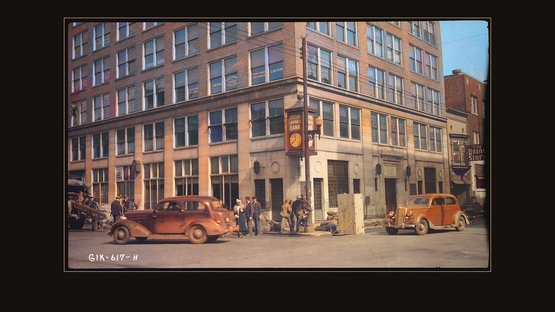
R002 Citizen's Savings Bank and The Union Store after flood
TVA photographer · Paducah, Ky., 1937 · National Archives, RG 142 · AI-colorized. View the original.

Twenty-six miles away, in Padookah, the Ohio River came through the doors of the Citizens Savings Bank.
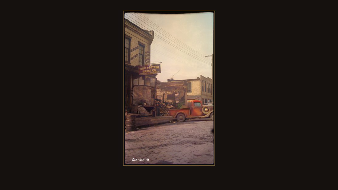
R003 Petter, Henry A. Supply Company; fire and flood damage
TVA photographer · Paducah, Ky., 1937 · National Archives, RG 142 · AI-colorized. View the original.

At the Petter Supply Company, the flood met a fire. The building burned to the waterline while the streets around it drowned.
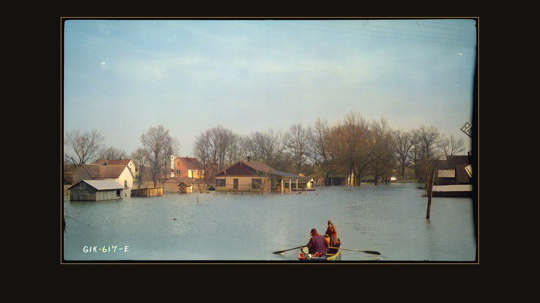
R004 Photograph of Flooded Homes
TVA photographer · Gilbertsville, Ky., 1937 · National Archives, RG 142 · AI-colorized. View the original.

In Gilbertsville, families rowed down their own streets.
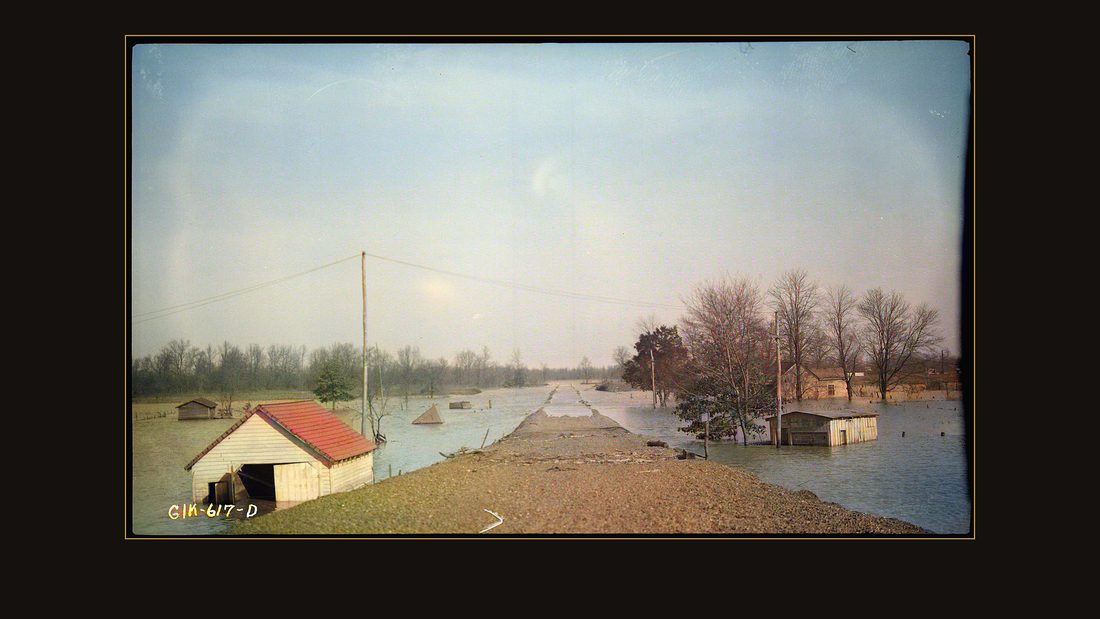
R005 Flooded Homes
TVA photographer · Calvert City, Ky., 1937 · National Archives, RG 142 · AI-colorized. View the original.

Calvert City. The photographs in this film were taken by the federal government, and this flood is why the government came.
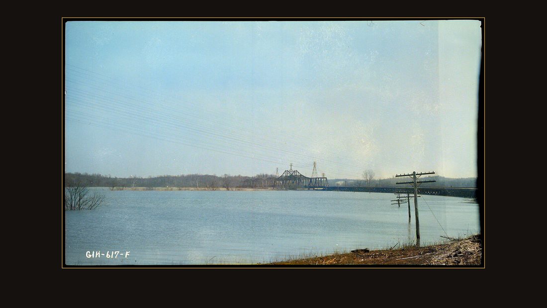
R006 I.C.R.R. Bridge at Flood Level
TVA photographer · Gilbertsville, Ky., {{ta · National Archives, RG 142 · AI-colorized. View the original.

Within eight years, nearly everything in these pictures would belong to the United States. Some of it for the water. The rest for a bargain the government wrote one appraisal at a time.
This film is about the largest land purchase the Tennessee Valley Authority ever made — and the government report, published in nineteen fifty-one, that wrote it all down.
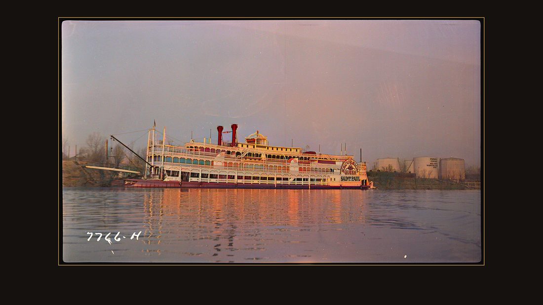
R007 Saint Paul excursion boat
TVA photographer · Paducah, Ky., 1938 · National Archives, RG 142 · AI-colorized. View the original.

The colors in these photographs are machine estimates, added in twenty twenty-six. The negatives are federal records, free at the National Archives. The faces, the light, and the places are real.
The valley
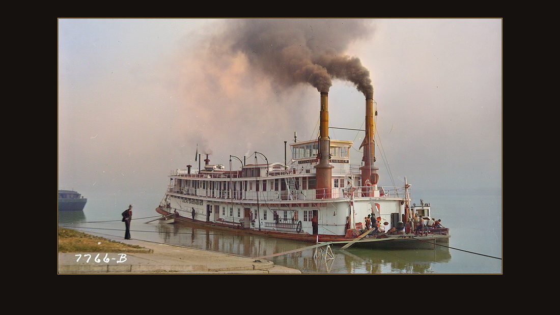
R008 Greenbrier large tow boat
TVA photographer · Paducah, Ky., 1938 · National Archives, RG 142 · AI-colorized. View the original.

The lower Tennessee River, before the lake. Towboats still pushed coal past Padookah.
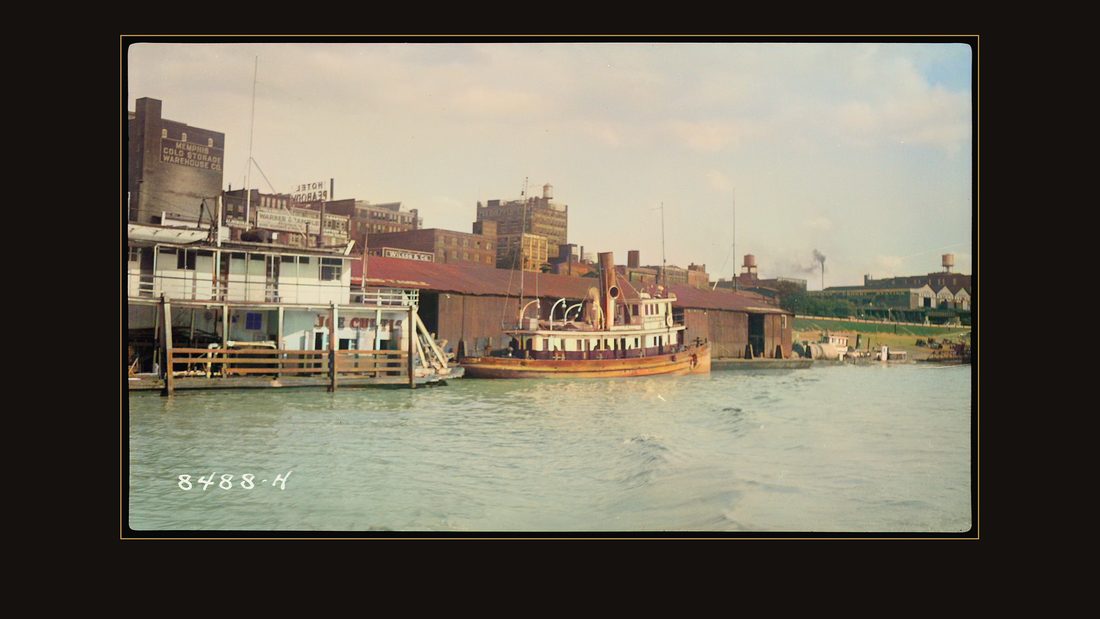
R009 West Kentucky Coal Company terminal
TVA photographer · Kentucky Reservoir area, 1939 · National Archives, RG 142 · AI-colorized. View the original.

The West Kentucky Coal Company kept a terminal on the bank.
Court day
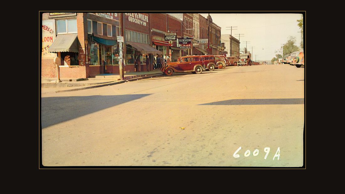
R015 Riley and Wolfe Grocery, Morgan's Shoe Store and other businesses
TVA photographer · Benton, Ky., 1939 · National Archives, RG 142 · AI-colorized. View the original.

On Saturdays, the county seats filled up. This is Benton, Kentucky — Riley and Wolfe's grocery, Morgan's shoe store.
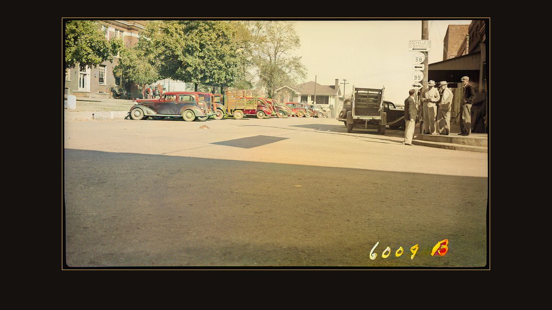
R016 Street scene
TVA photographer · Benton, Ky., 1939 · National Archives, RG 142 · AI-colorized. View the original.

Trucks parked two deep on the square.
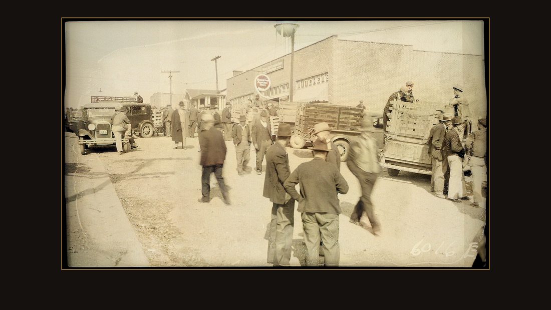
R017 Western Auto Store
TVA photographer · Benton, Ky., 1939 · National Archives, RG 142 · AI-colorized. View the original.

A crowd outside the Western Auto.
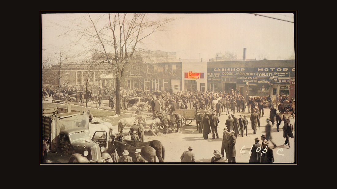
R018 Mule Day
TVA photographer · Murray, Ky., 1940 · National Archives, RG 142 · AI-colorized. View the original.

Murray, Kentucky, on Mule Day. The photographer wrote two words on the negative and let the crowd speak for itself.
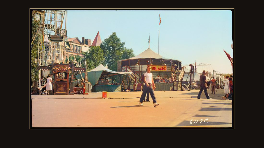
R020 Nancy Hall Jubilee
TVA photographer · Paris, Tenn., 1940 · National Archives, RG 142 · AI-colorized. View the original.

In Paris they held the Nancy Hall Jubilee — a street festival named for a sweet potato.
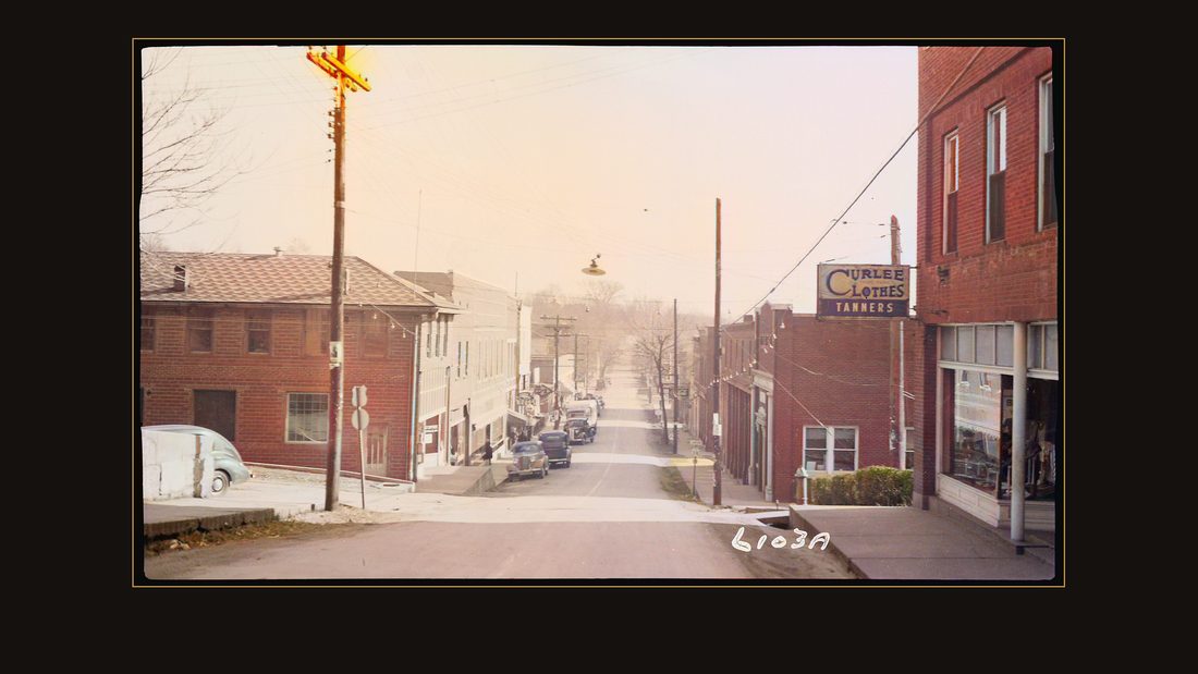
R024 Main street
TVA photographer · Eddyville, Ky., 1939 · National Archives, RG 142 · AI-colorized. View the original.

Eddyville, over on the Cumberland — the next river, and, twenty years later, the next lake. That is a different story with the same shape.
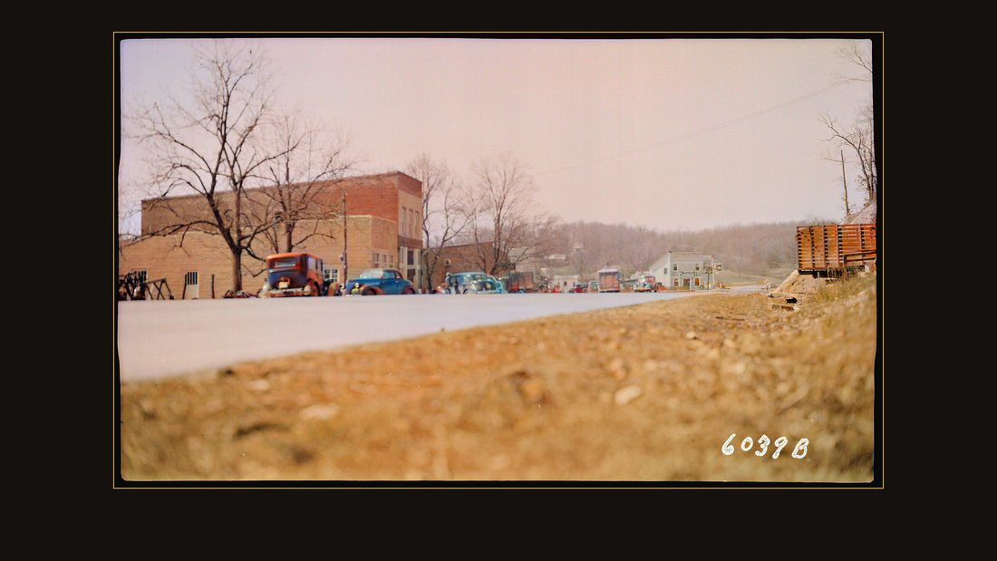
R025 Golden Ponde business district
TVA photographer · Trigg, Ky., 1940 · National Archives, RG 142 · AI-colorized. View the original.

And Golden Pond, between the rivers. Its turn would come too.
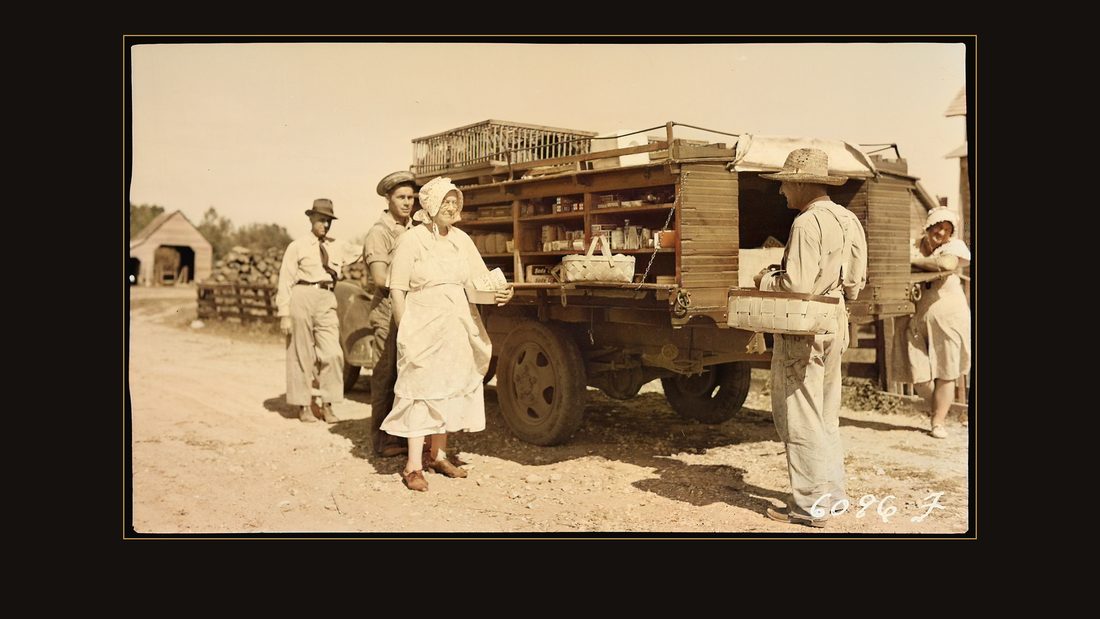
R028 Farm family making a purchase from a rollng store
TVA photographer · Murray, Ky., 1939 · National Archives, RG 142 · AI-colorized. View the original.

Where the towns ran out, the stores went to the farms. A rolling store near Murray — groceries on the shelves, chickens in crates on the roof.
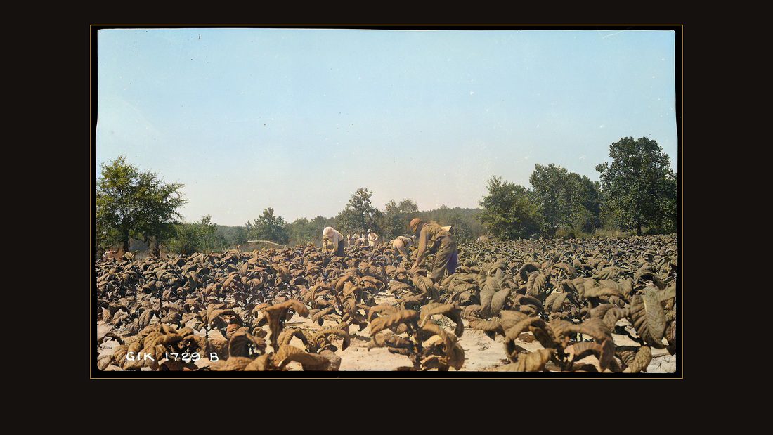
R031 Mc Nabb, L.G.; harvesting tobacco
TVA photographer · Calloway, Ky., 1937 · National Archives, RG 142 · AI-colorized. View the original.

The McNabb family, harvesting tobacco in Calloway County. Their name is on the negative. Remember that. It matters later.
The decision
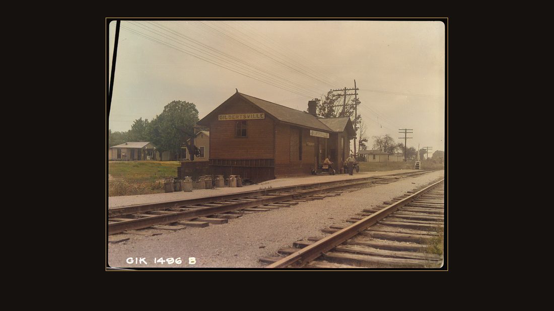
R032 Gilbertsville Railroad Depot
TVA photographer · Gilbertsville, Ky., 1937 · National Archives, RG 142 · AI-colorized. View the original.

In nineteen thirty-eight, the surveyors came to a village called Gilbertsville — a depot on the Illinois Central line.
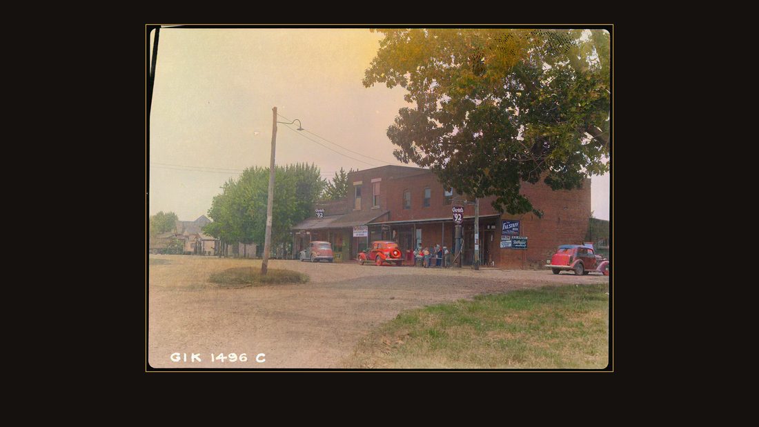
R033 Dan Stite realty Company and a General Store
TVA photographer · Gilbertsville, Ky., 1937 · National Archives, RG 142 · AI-colorized. View the original.

A realty office and a general store.
The Tennessee Valley Authority had studied the lower river for years, and its report lists the four sites that could hold a high dam. Kentucky, at mile twenty-two. Aurora Landing. Shannon. And a site twenty-nine and a half miles above Padookah, named for the town beside it: Birmingham.
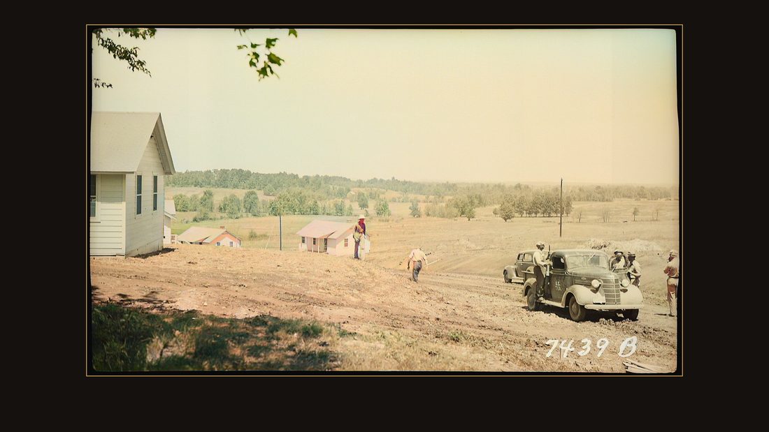
R034 Street scene
TVA photographer · Gilbertsville, Ky., 1938 · National Archives, RG 142 · AI-colorized. View the original.

The town in the flood pictures was a finalist to hold the dam. It lost. The Kentucky site, by Gilbertsville, won.
The nineteen thirty-seven flood had settled the argument for building. The report says it plainly: at no other place in the Ohio Basin could so much flood storage be bought so cheaply.
The engineers calculated that the reservoir could take two feet off the Mississippi River at Cairo, and hold that reduction all the way to the mouth of the Arkansas.
Two feet at Cairo. Hold that number against everything that follows.
The machine arrives
Construction began in July nineteen thirty-eight. First the government bought the forty-six houses of old Gilbertsville and fixed them up for its own staff.
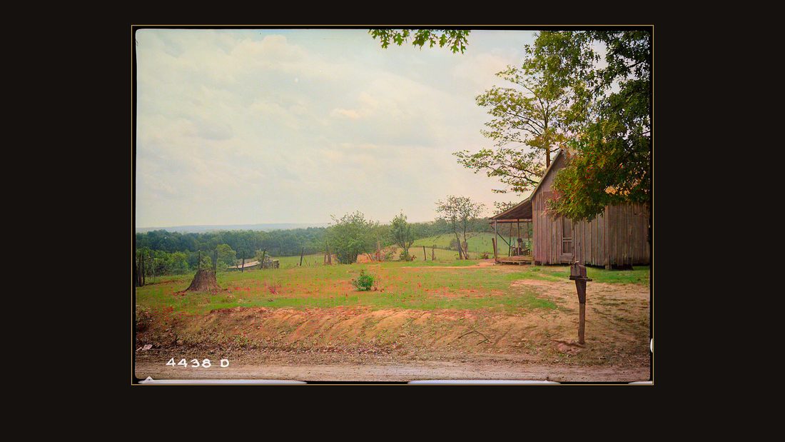
R072 View of camp site
TVA photographer · Gilbertsville, Ky., 1938 · National Archives, RG 142 · AI-colorized. View the original.

Then it built a new town — a camp for about five hundred single men, a mile and a half out.
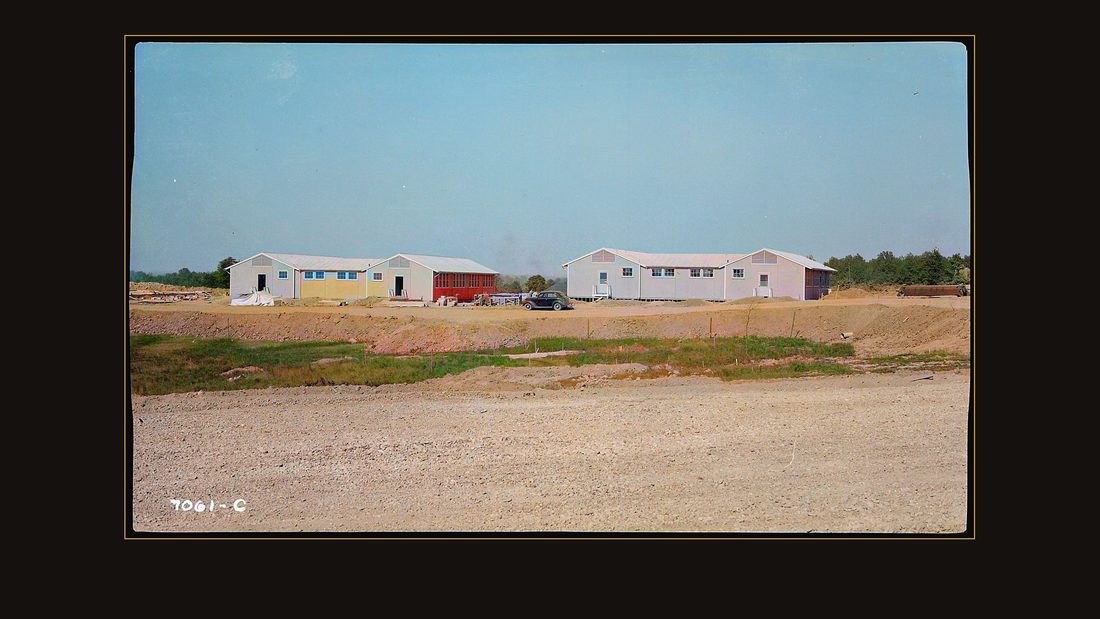
R073 Gilbertsville Camp, Site #9 bunkhouses
TVA photographer · Gilbertsville, Ky., 1938 · National Archives, RG 142 · AI-colorized. View the original.

Bunkhouses in rows.
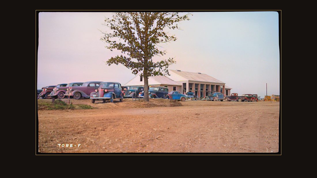
R074 Personnel Building
TVA photographer · Gilbertsville, Ky., 1938 · National Archives, RG 142 · AI-colorized. View the original.

A personnel building, where the valley lined up to ask for work.
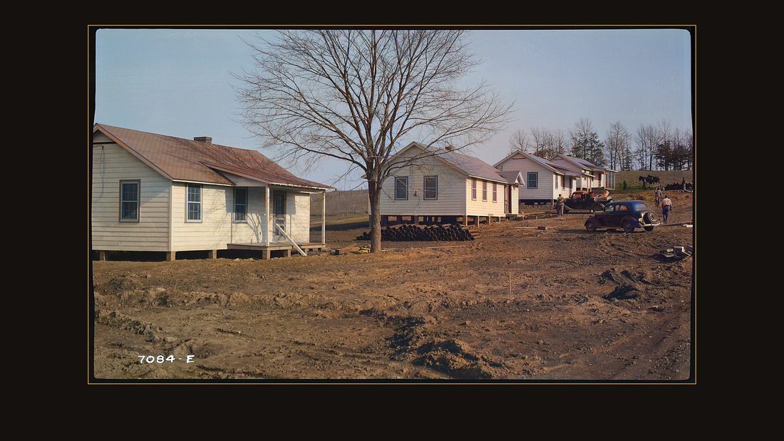
R076 House built by TVA
TVA photographer · Gilbertsville, Ky., 1938 · National Archives, RG 142 · AI-colorized. View the original.

Houses for the engineers' families.
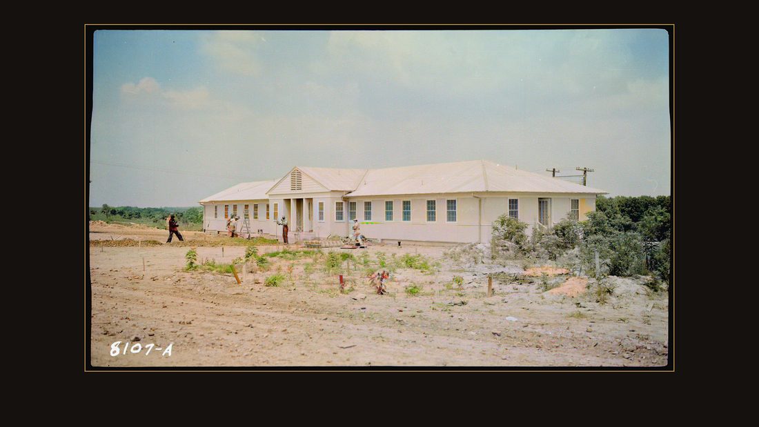
R078 Medical Center
TVA photographer · Gilbertsville, Ky., 1939 · National Archives, RG 142 · AI-colorized. View the original.

A medical center. The government village had everything, and it was the only town on this river that was ever meant to be temporary.
The purchase
Then the buying started. The report's own words: no price-trading was permitted. The property was either purchased at the appraised price — or condemned.
Three hundred twenty thousand, two hundred forty-three acres. Ninety-five percent sold at the appraisal. The rest went to court — about half of that because the owners refused the price.
The ledger: eight thousand five hundred fifty tracts. Thirteen point seven million dollars. An average of forty-two dollars and seventy-three cents an acre.
The appraisal file
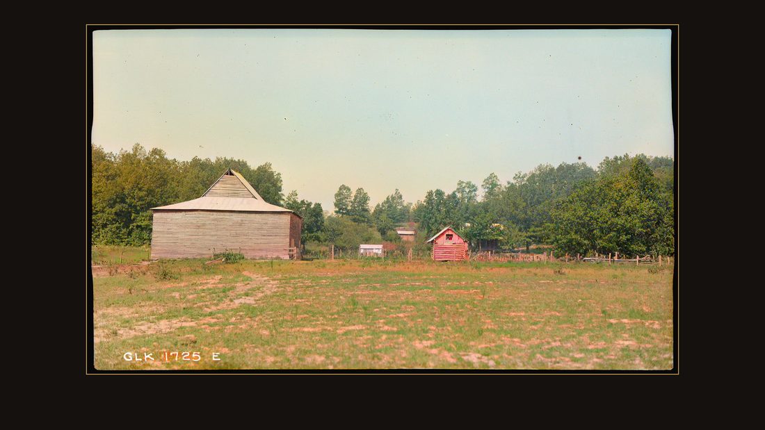
R035 Champion, Maude; farmstead
TVA photographer · Calloway, Ky., 1937 · National Archives, RG 142 · AI-colorized. View the original.

Before the money moved, a man came with a camera, because the purchase file needed pictures. This is Maude Champion's farmstead, in Calloway County.
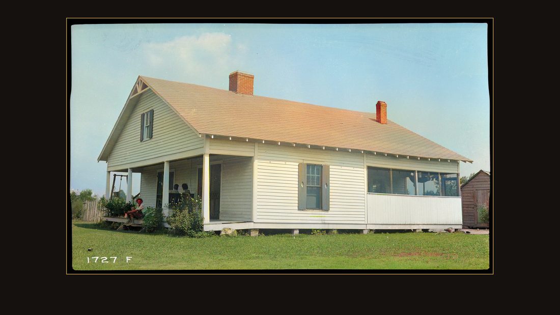
R037 Giles, Edwin; farm house
TVA photographer · Calloway, Ky., 1937 · National Archives, RG 142 · AI-colorized. View the original.

Edwin Giles' place — someone on the porch, watching the photographer work.
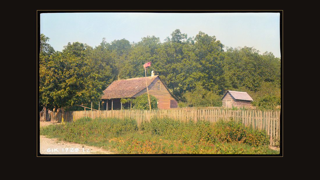
R040 Compton, Watkins; farm house
TVA photographer · Trigg, Ky., 1937 · National Archives, RG 142 · AI-colorized. View the original.

In Trigg County: Watkins Compton's farm house, behind its paling fence.
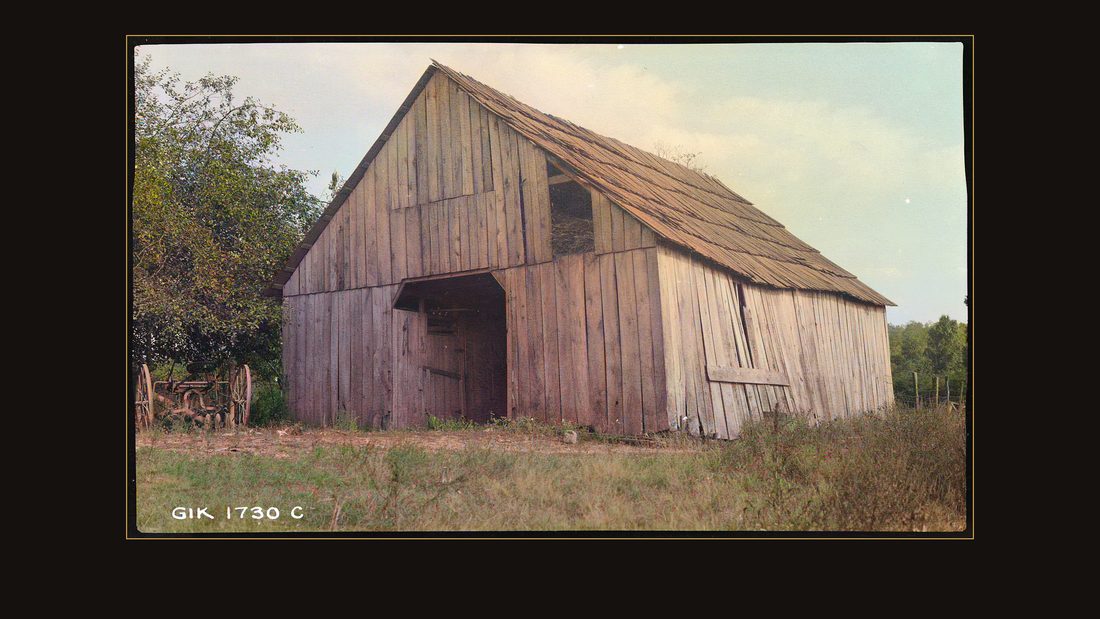
R041 Turner, E.Y.; barn
TVA photographer · Trigg, Ky., 1937 · National Archives, RG 142 · AI-colorized. View the original.

On the Turner place, the barn was photographed too.
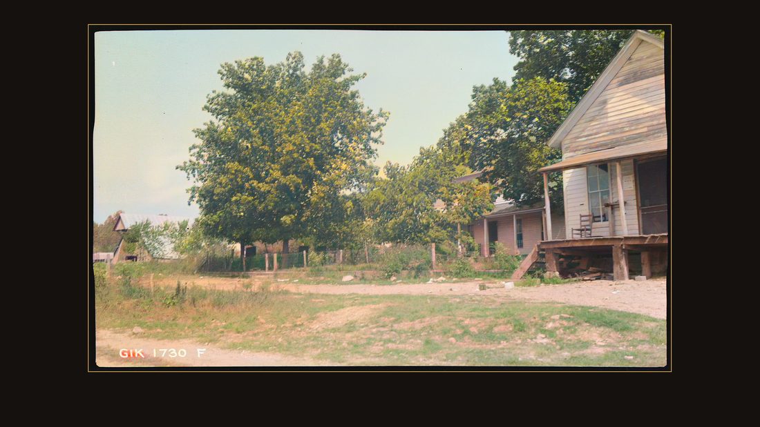
R042 Smith, William; farmstead
TVA photographer · Trigg, Ky., 1937 · National Archives, RG 142 · AI-colorized. View the original.

William Smith's farmstead.
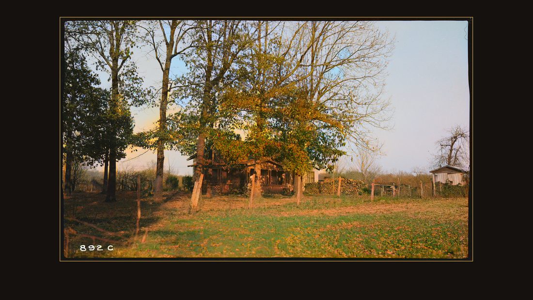
R043 Hobbs' home
TVA photographer · Humphreys, Tenn., 1937 · National Archives, RG 142 · AI-colorized. View the original.

Across the state line, in Humphreys County, Tennessee, the same camera. The Hobbs place.
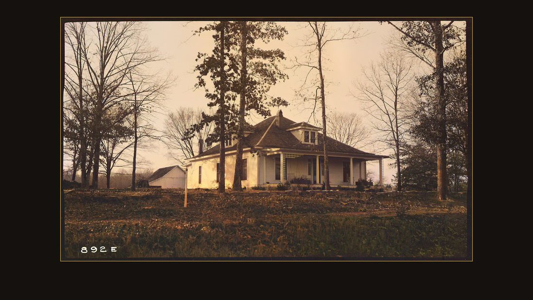
R045 Link, J.B. Jr. home
TVA photographer · Humphreys, Tenn., 1937 · National Archives, RG 142 · AI-colorized. View the original.

J.B. Link Junior's house.
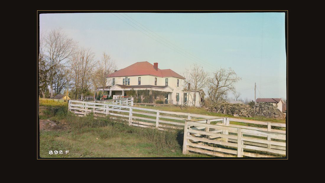
R046 Link, Mrs. J.B., Sr. home
TVA photographer · Humphreys, Tenn., 1937 · National Archives, RG 142 · AI-colorized. View the original.

And up the road, behind a white fence, the home of Mrs. J.B. Link Senior.
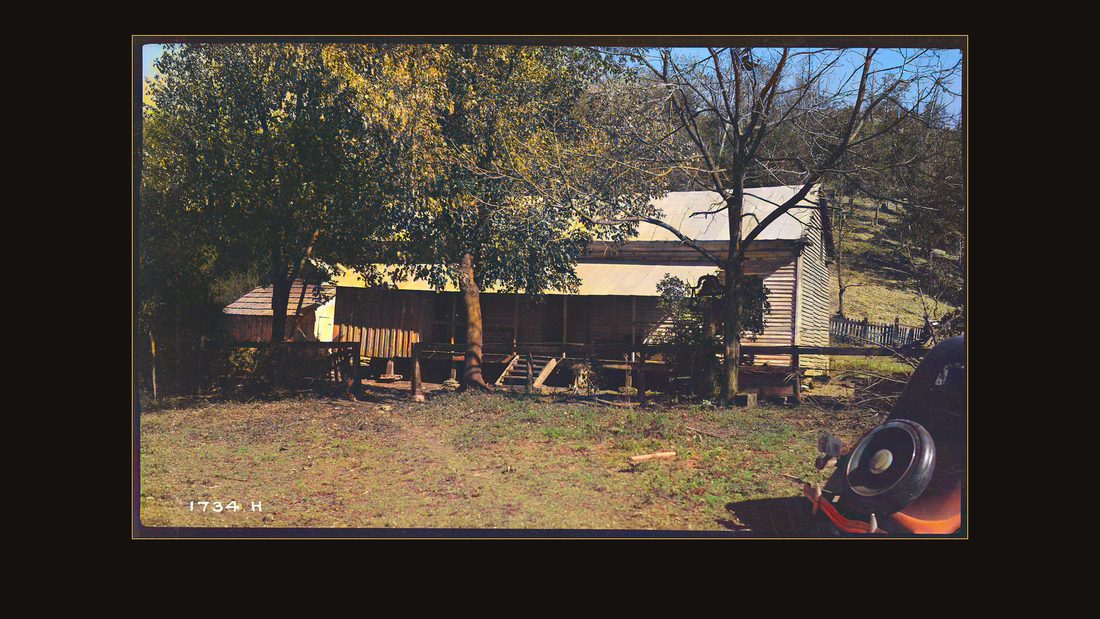
R048 Wafford, S.W.; farm house on the Duck River
TVA photographer · Humphreys, Tenn., 1937 · National Archives, RG 142 · AI-colorized. View the original.

The Wafford house, under the trees.
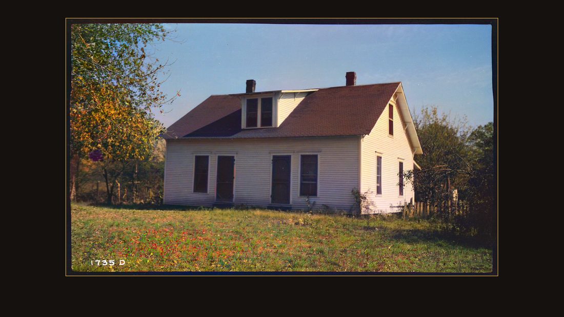
R049 Burnett, Mose; farm house on the Duck River
TVA photographer · Humphreys, Tenn., 1937 · National Archives, RG 142 · AI-colorized. View the original.

Mose Burnett's house.
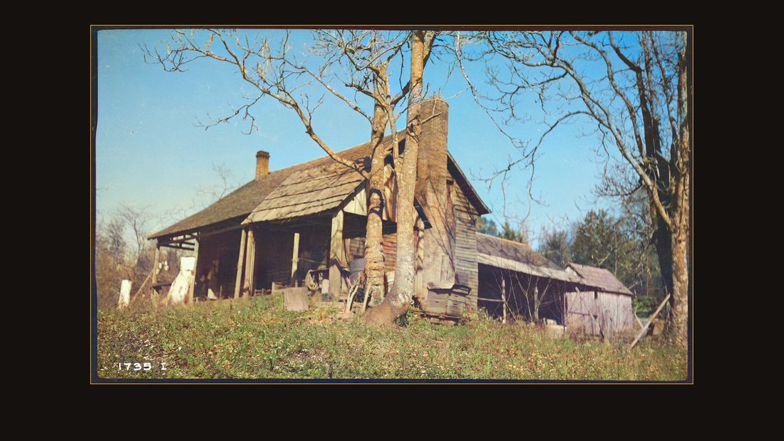
R050 Sloyden, W.W.; farm house near Buffalo River
TVA photographer · Humphreys, Tenn., 1937 · National Archives, RG 142 · AI-colorized. View the original.

W.W. Sloyden's, near the Buffalo River — log walls and a stone chimney.
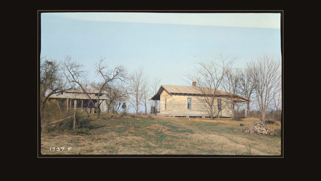
R053 Crowell, Mrs. E.T.; farm house and smoke house near Tennessee River
TVA photographer · Humphreys, Tenn., 1937 · National Archives, RG 142 · AI-colorized. View the original.

Mrs. E.T. Crowell's house and smokehouse.
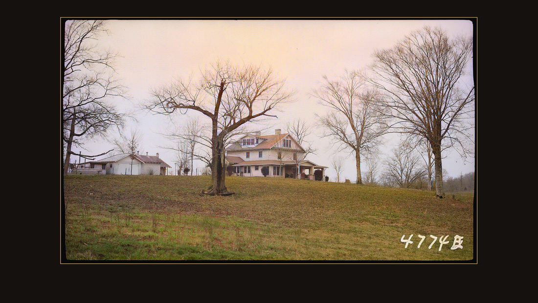
R055 Excellent home
TVA photographer · Humphreys, Tenn., 1940 · National Archives, RG 142 · AI-colorized. View the original.

Some negatives carry no name at all — just the appraiser's verdict. This one is titled, simply, Excellent home.
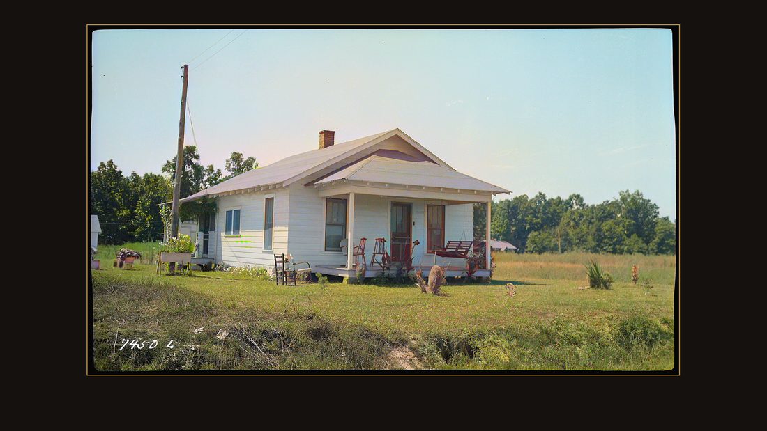
R056 Smith's Camp; representative of a good house
TVA photographer · Kentucky Reservoir area, 1938 · National Archives, RG 142 · AI-colorized. View the original.

And this one: representative of a good house. The valley was being graded.
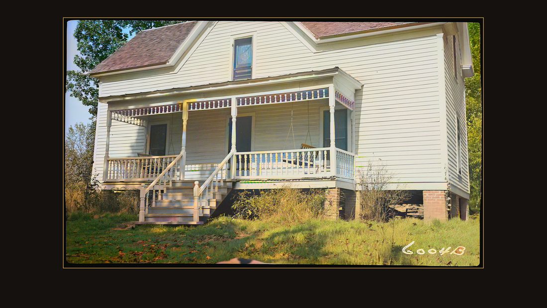
R057 Harrison, W.W.; home
TVA photographer · Murray, Ky., 1939 · National Archives, RG 142 · AI-colorized. View the original.

W.W. Harrison's home, near Murray. Every family in this chapter was about to get the same offer — the appraised price, or the courthouse.
Two schools, one name
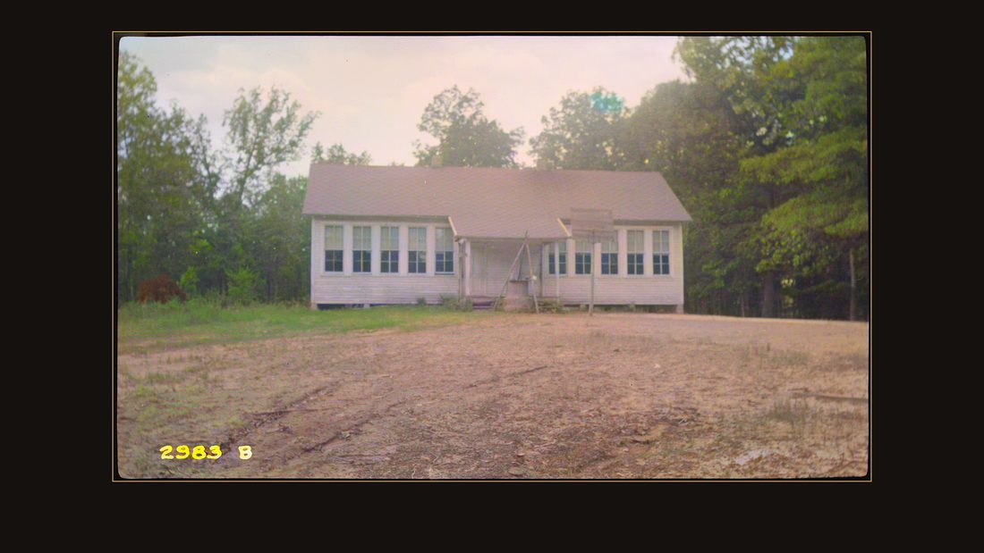
R058 Malory School (Negro)
TVA photographer · Calloway, Ky., 1938 · National Archives, RG 142 · AI-colorized. View the original.
_-_NARA_-_280279.jpg)
The file also recorded what a county is made of. In Calloway County it photographed the Malory School — twice.
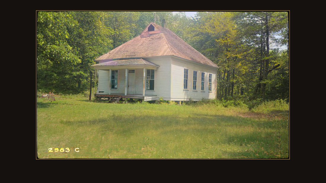
R059 Malory School (Caucasian)
TVA photographer · Calloway, Ky., 1938 · National Archives, RG 142 · AI-colorized. View the original.
_-_NARA_-_280280.jpg)
The labels are written on the negatives, in the language of the file: one school for Black children, one for white. Same name. Same county. Two buildings.
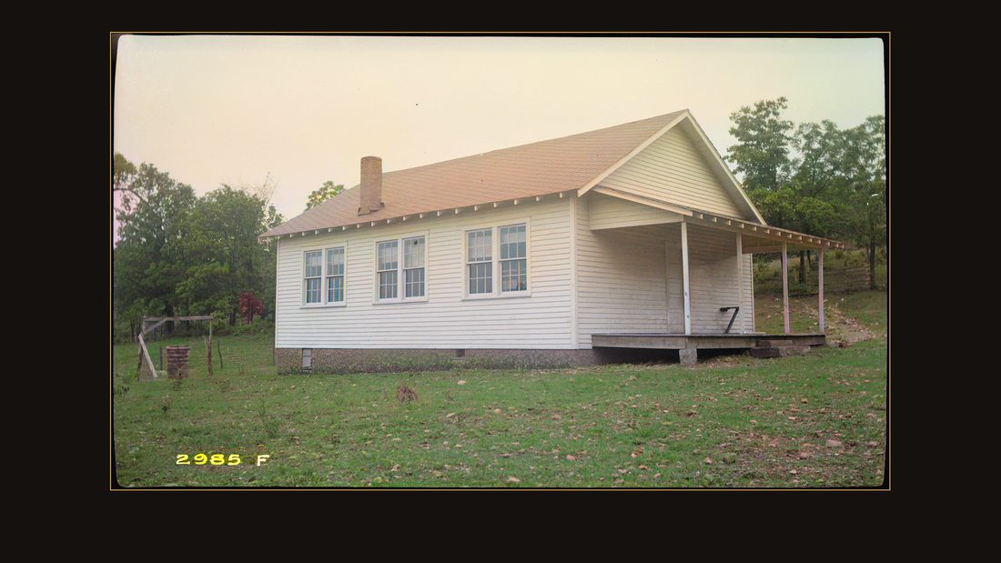
R061 Oak Ridge Elementary School (Caucasian)
TVA photographer · Trigg, Ky., 1938 · National Archives, RG 142 · AI-colorized. View the original.
_-_NARA_-_280287.jpg)
Oak Ridge Elementary, in Trigg County.
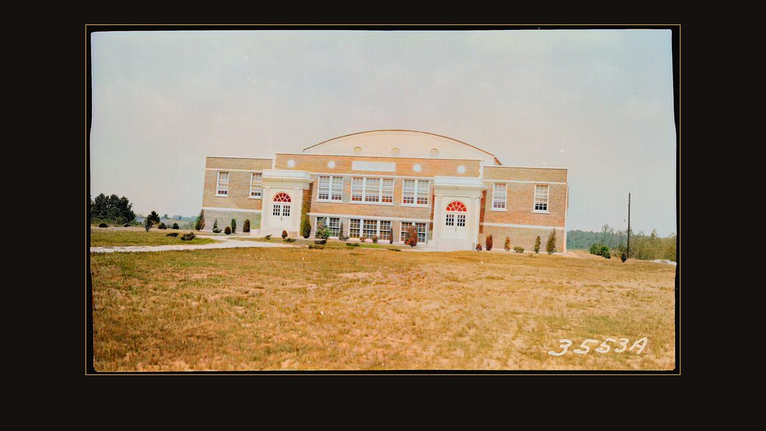
R062 Trigg County High School
TVA photographer · Trigg, Ky., 1939 · National Archives, RG 142 · AI-colorized. View the original.

Trigg County High School, brick and nearly new.
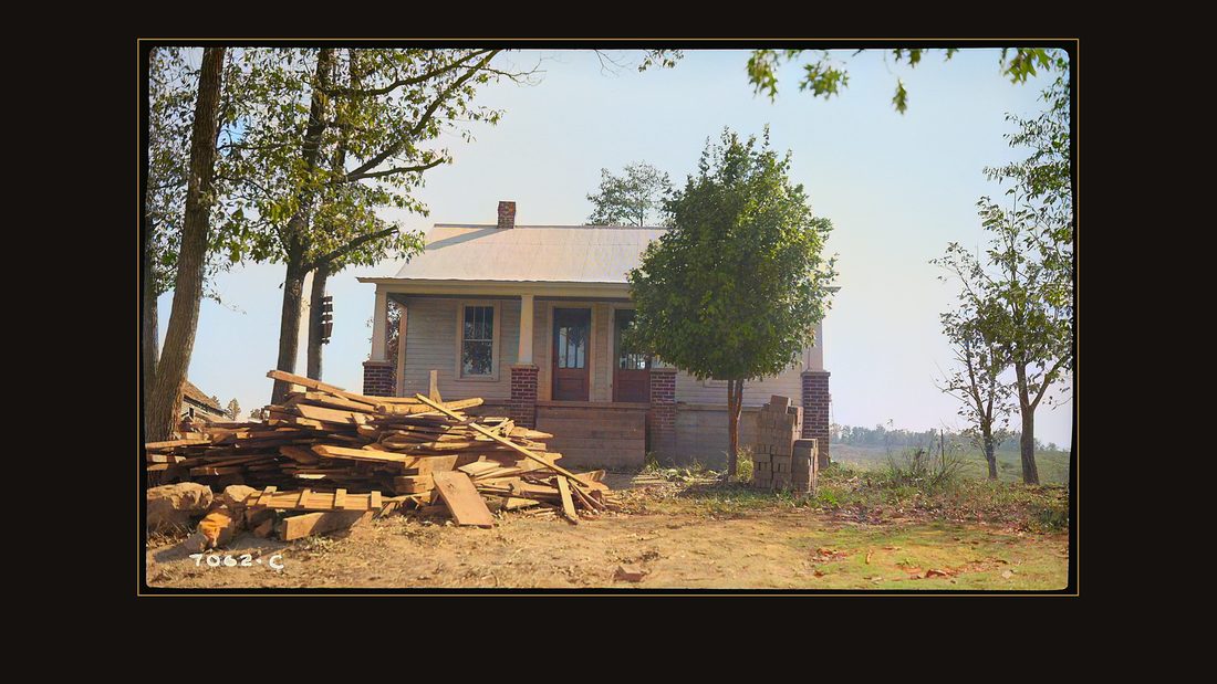
R063 Negor School
TVA photographer · Gilbertsville, Ky., 1938 · National Archives, RG 142 · AI-colorized. View the original.

At Gilbertsville, the school the file labeled for Black children was photographed with lumber already stacked in the yard.
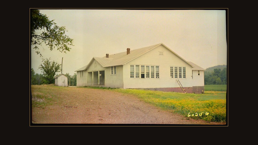
R066 Cedar Creek School
TVA photographer · Murray, Ky., 1940 · National Archives, RG 142 · AI-colorized. View the original.

Cedar Creek School.
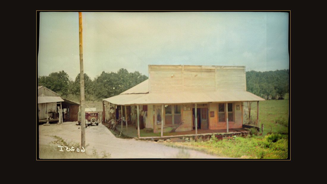
R067 Cedar Creek community
TVA photographer · Murray, Ky., 1940 · National Archives, RG 142 · AI-colorized. View the original.

And the Cedar Creek store, the road running past it into the trees. All of this stood below the lake line.
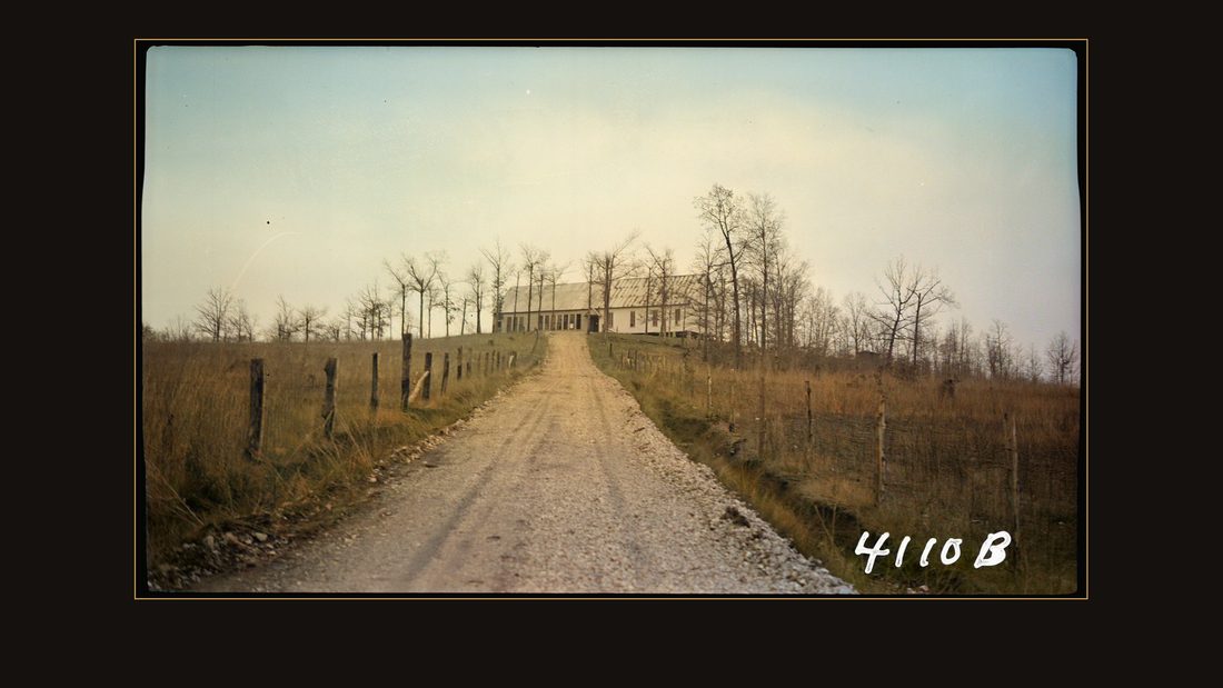
R070 Monis Chapel
TVA photographer · Camden, Tenn., 1939 · National Archives, RG 142 · AI-colorized. View the original.

Monis Chapel, at the end of its lane.
The report counted them, eventually, in one sentence: it was necessary to move one hundred and two schools, churches, and business establishments.
2,609 families
The chapter is titled Population Readjustment. Because of its unusual size, it says, Kentucky Reservoir construction required the purchase of more land than any other T-V-A project — and the evacuation of more families than any project except Norris.
Two thousand six hundred and nine families. And inside that number, a stranger one: four hundred sixty-eight of them were renters who moved into the reservoir after the government had already contracted to buy it. Cheap rent, on land that was already sold.
Field workers visited every family and kept case records — the report can tell you, county by county, where everyone went. It is proud of the system, and the system was thorough. It was also not a negotiation.
The clearing
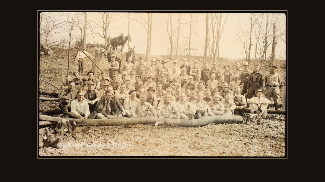
R079 Reservoir Clearance Unit, group photo
TVA photographer · Kentucky Reservoir area, 1940 · National Archives, RG 142 · AI-colorized. View the original.

These are the men of the Reservoir Clearance Unit. From April nineteen forty-one, they cut the valley to the waterline.
Fifteen thousand buildings stood in the reservoir area. Most were torn down — and the families salvaged the lumber to build again on higher ground. Valuable material, the report notes, once the war made new lumber scarce.
Seven towns
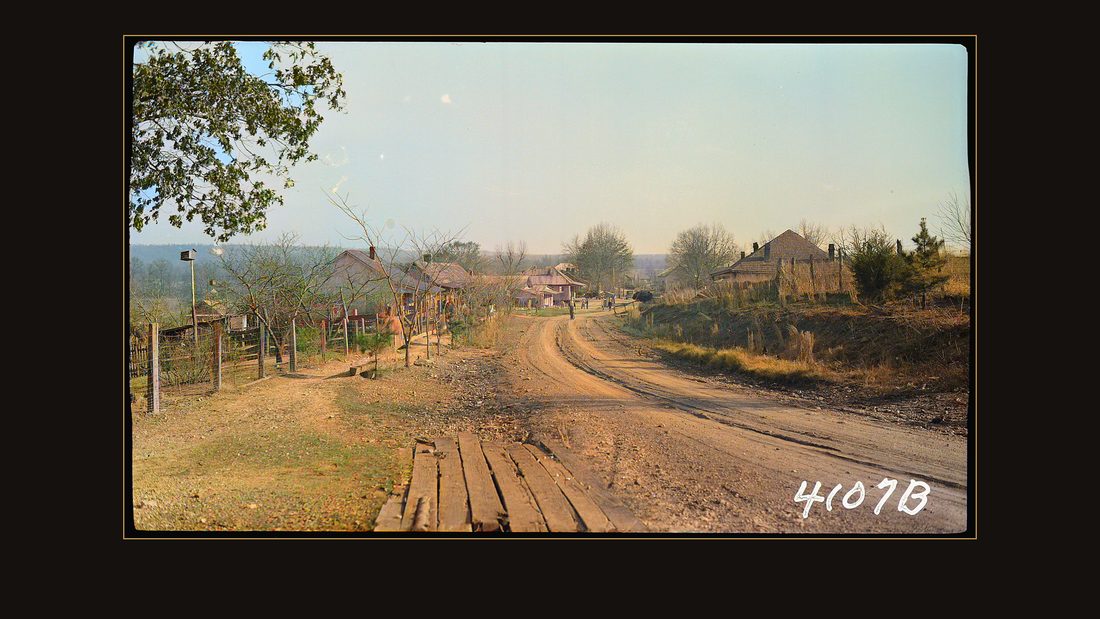
R082 View of town
TVA photographer · Eva, Tenn., 1939 · National Archives, RG 142 · AI-colorized. View the original.

Seven towns had to reckon with the water, and the report ranks their problems by intensity. In Benton County, Tennessee, the town of Big Sandy was saved by dikes, at the cost of fifteen houses. Its neighbor Eva lost, in the report's words, only a few poorly constructed houses.

R083 Warrick, W.B.; home
TVA photographer · Eva, Tenn., 1939 · National Archives, RG 142 · AI-colorized. View the original.

The Warrick family's home there.
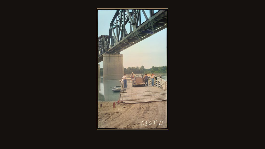
R084 Danville Bridge, Louisville & Nashville railroad, workers and an old car
TVA photographer · Kentucky Reservoir area, {{ta · National Archives, RG 142 · AI-colorized. View the original.

Danville was evacuated entirely, so that the Louisville and Nashville railroad bridge could be raised over the new lake. The town moved half a mile and kept its name.
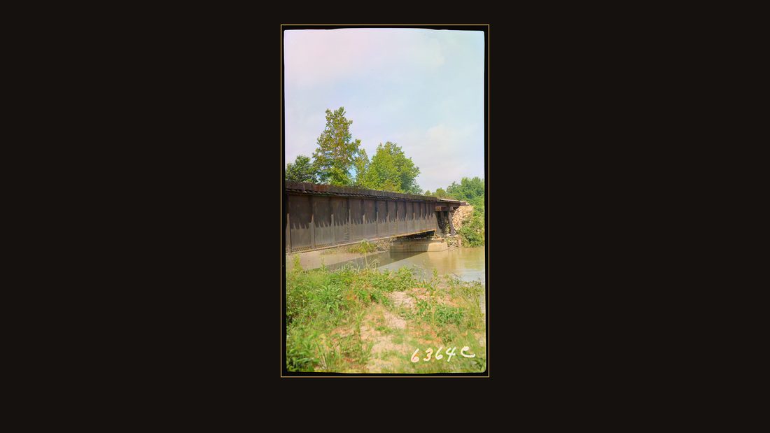
R085 Louisville & Nashville railraod bridge at Big Sandy River
TVA photographer · Kentucky Reservoir area, 1938 · National Archives, RG 142 · AI-colorized. View the original.

At the Big Sandy River, the arithmetic ran the other way: rather than replace this bridge, the government bought the whole peninsula beyond it. Seventy-one families lived out there.
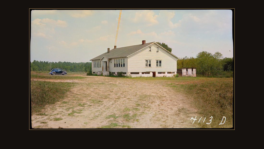
R086 School
TVA photographer · Johnsonville, Tenn., 1939 · National Archives, RG 142 · AI-colorized. View the original.

Johnsonville was bought whole — cheaper, the report explains, than moving its roads and controlling its mosquitoes. The new town went up beyond the mile-flight range of the malaria mosquito. Many of its residents — Black railroad families among them, the report notes — kept their jobs.
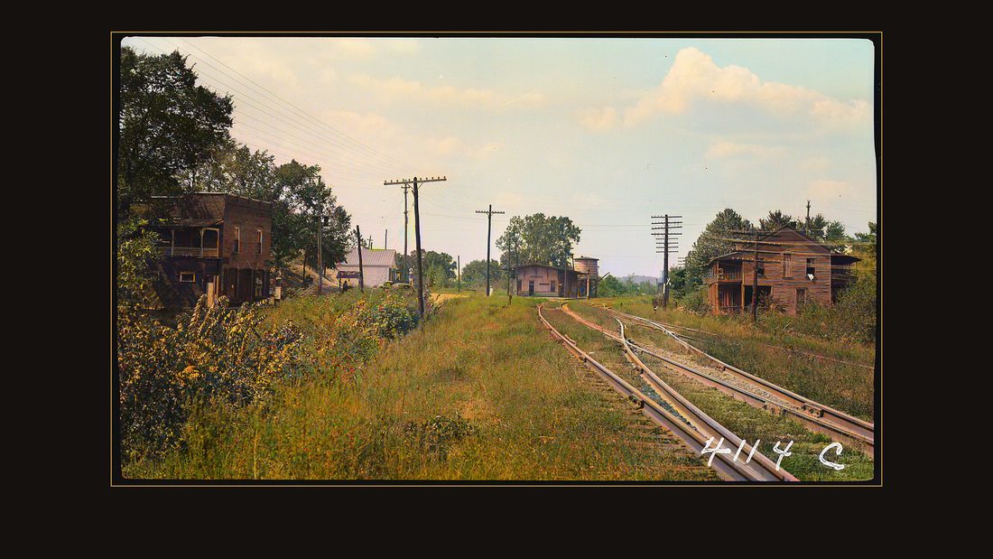
R087 Railroad Depot
TVA photographer · Johnsonville, Tenn., 1939 · National Archives, RG 142 · AI-colorized. View the original.

The depot stayed behind, with the rails running toward the river.
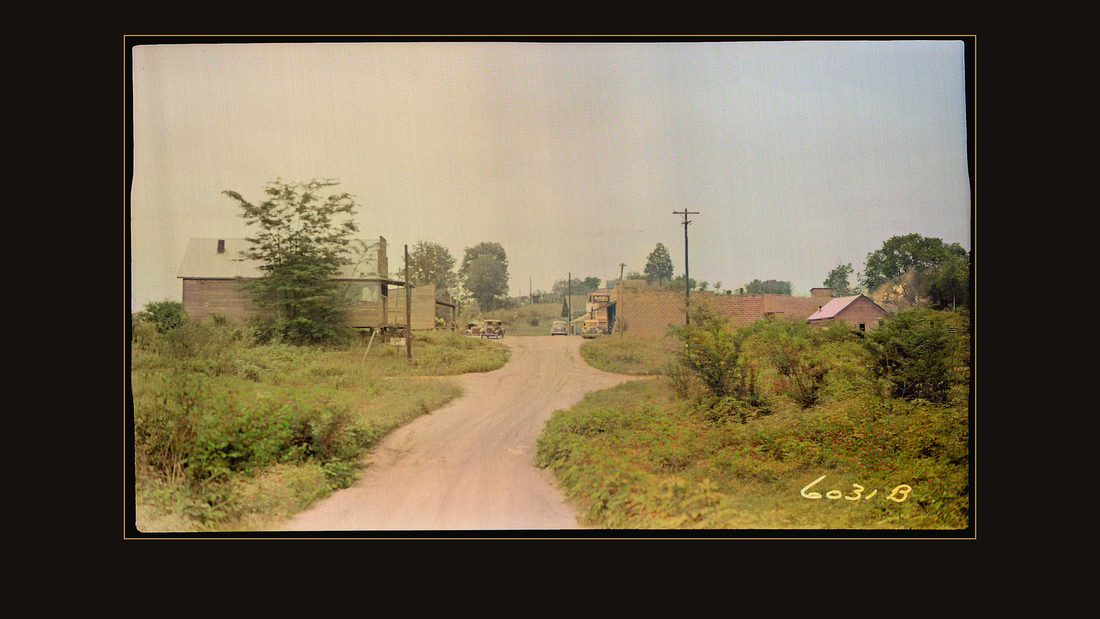
R088 Business district
TVA photographer · Perryville, Tenn., 1940 · National Archives, RG 142 · AI-colorized. View the original.

Perryville, half-flooded, got an improved road and new storefronts out of the bargain.
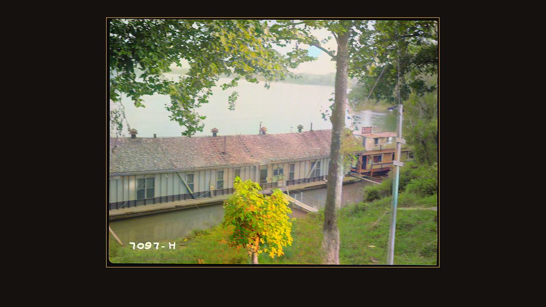
R089 "Floating Queen" river honky-tonk
TVA photographer · Perryville, Tenn., 1939 · National Archives, RG 142 · AI-colorized. View the original.

And the Floating Queen — a honky-tonk on the river itself — appears in the file without comment. Some things the government photographed just because they were there.
Birmingham
Then there is the first town on the list. Birmingham, Marshall County, Kentucky. The report gives it three sentences.
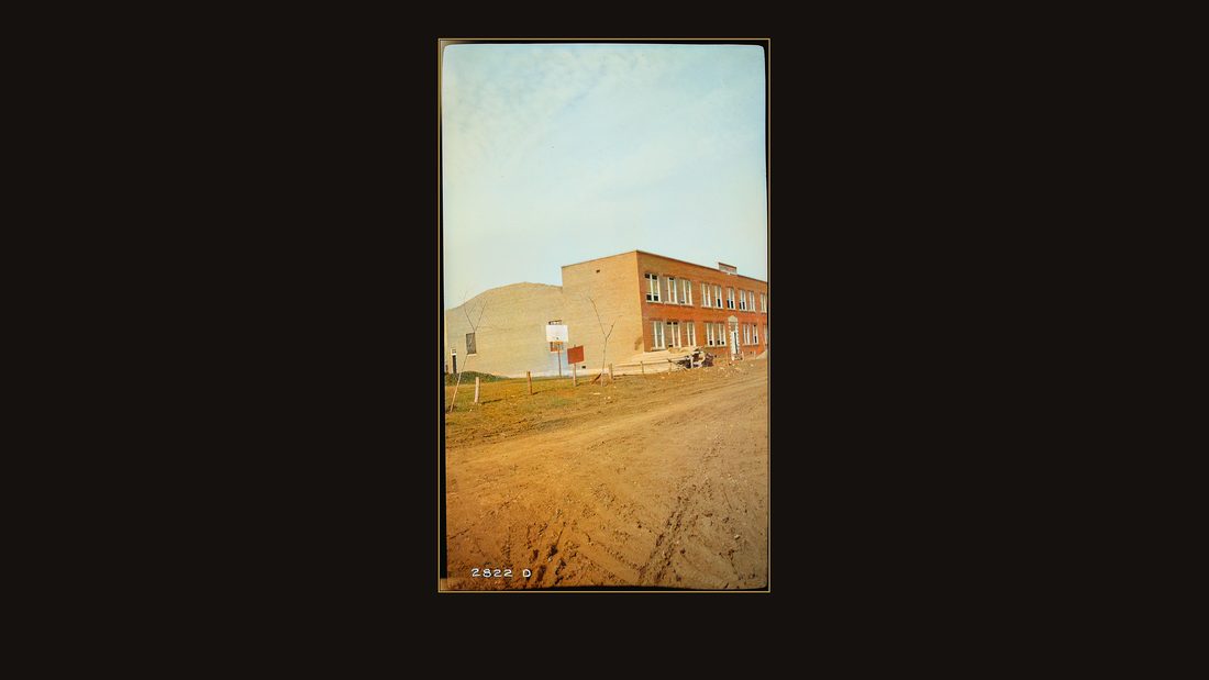
R080 School
TVA photographer · Birmingham, Ky., 1938 · National Archives, RG 142 · AI-colorized. View the original.

Sentence one: Birmingham was entirely purchased, since the whole town site lies below the normal pool level.
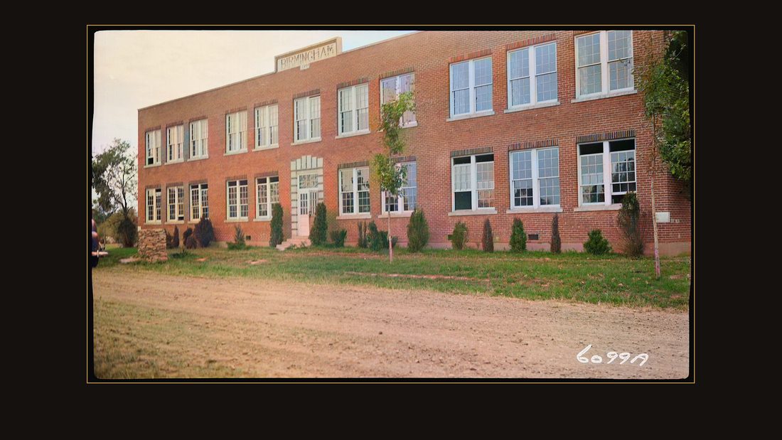
R081 School built in 1934
TVA photographer · Birmingham, 1939 · National Archives, RG 142 · AI-colorized. View the original.

Sentence two: ninety-four families were required to move. Sentence three: for the most part, they have relocated in neighboring communities. That is the full federal record of the end of a town.
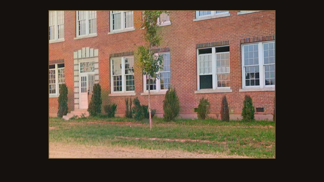
D04 School built in 1934
TVA photographer · Birmingham, 1939 · National Archives, RG 142 · AI-colorized. View the original.
That school was built in nineteen thirty-four. It was five years old when the buying began. There is no new Birmingham. The dam it nearly hosted sits seven miles downstream, and the lake it lost out to covers it.
The graves
The dead moved too. Survey crews walked the valley and indexed nine hundred fourteen cemeteries.
Three thousand three hundred ninety graves were moved, with five hundred seventy-eight monuments, out of one hundred twenty cemeteries. Where no family could be found, unmarked graves were left where they lay — under the lake.
The ledger
What did the counties keep? Four hundred sixty-six square miles left their tax rolls — and with the land went about ninety-five thousand dollars a year. Marshall County alone gave up seventeen percent of its ground.
And the people scattered the way the report's last table says: seventy-one percent stayed in their own county. Twenty-two percent moved elsewhere in their state. Eight percent left their state altogether.
The lake
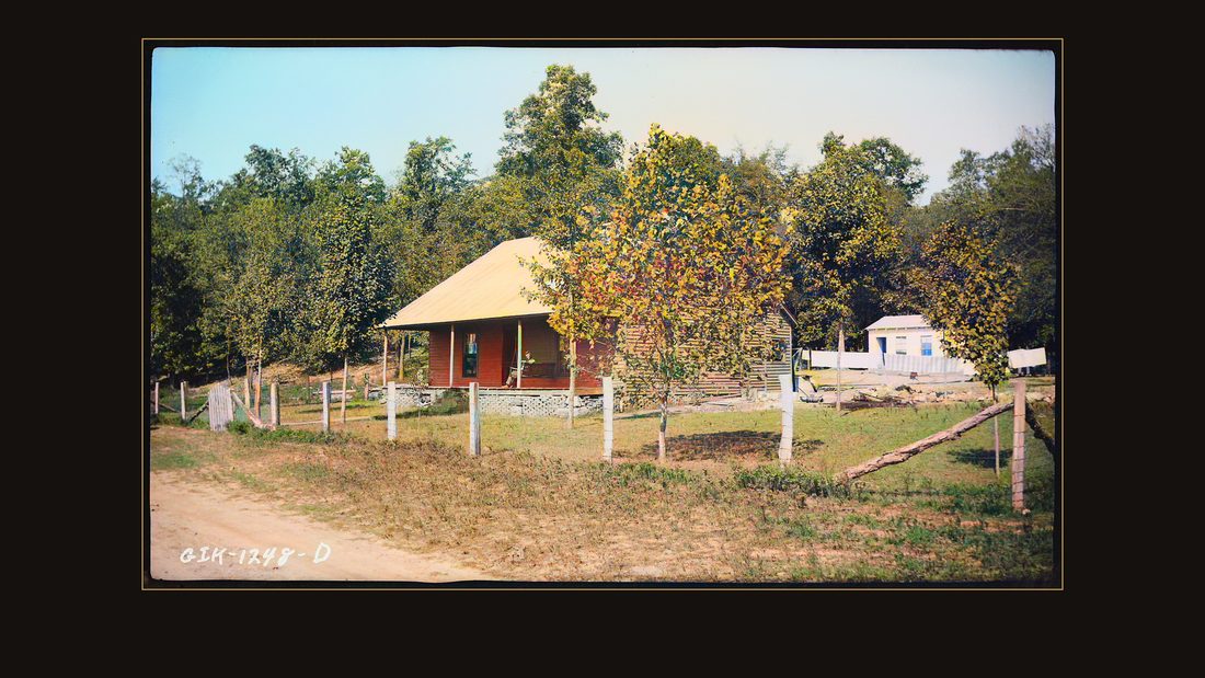
R091 Hopson home
TVA photographer · Kentucky Dam, Ky., 1936 · National Archives, RG 142 · AI-colorized. View the original.

In nineteen thirty-six the file photographed the Hopson home, on the ground the engineers had chosen for the dam itself. The gates closed on that ground, and in September nineteen forty-four the reservoir filled — one hundred eighty-four miles of water, in two states.
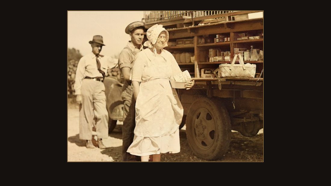
D01 Farm family making a purchase from a rollng store
TVA photographer · Murray, Ky., 1939 · National Archives, RG 142 · AI-colorized. View the original.
The flood control was real. The navigation was real. The power came in time for the last year of the war. And the price was real too. The government's own cameras recorded most of it — field by field, porch by porch, name by name.
What is still buried
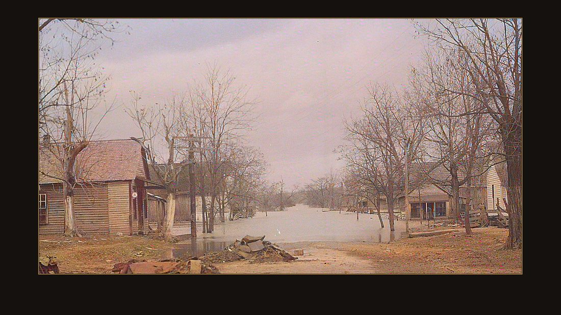
D02 Flooded Homes
TVA photographer · Birmingham, Ky., 1937 · National Archives, RG 142 · AI-colorized. View the original.
The report closes the account in nine hundred pages. But the negatives are the better ledger. McNabb. Champion. Link. Burnett. Compton. Crowell. Nobody chose these families for history. An appraiser with a camera did.
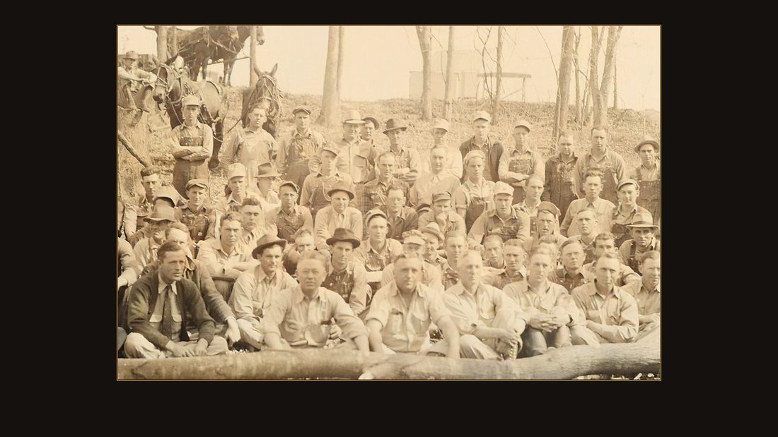
D03 Reservoir Clearance Unit, group photo
TVA photographer · Kentucky Reservoir area, 1940 · National Archives, RG 142 · AI-colorized. View the original.
No famous photographer ever worked this valley. There is only the purchase file — which is why you have probably never seen these pictures.
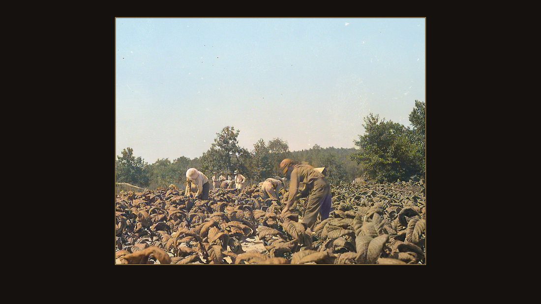
D05 Mc Nabb, L.G.; harvesting tobacco
TVA photographer · Calloway, Ky., 1937 · National Archives, RG 142 · AI-colorized. View the original.
If your people were farming the bottoms in Marshall, Calloway, Livingston, Lyon, or Trigg County — or across the line in Tennessee — their place may be in this file, with their name written on the negative. The sources below say where to look. Every one of them is free.
Sources
- [S] *The Kentucky Project: A Comprehensive Report on the Planning, Design, Construction, and Initial Operations of the Kentucky Project.* Tennessee Valley Authority, Technical Report No. 13. Washington: Government Printing Office, 1951. Public domain (U.S. federal document). Read in full view via HathiTrust (catalog record 011390576); page images on screen are from the same Google-digitized scan (Google Books id S8ZPAQAAMAAJ). https://catalog.hathitrust.org/Record/011390576
- [R] Kodak Negative File, 1933–1976. Records of the Tennessee Valley Authority, Record Group 142, National Archives (series NAID 279689; held at Atlanta). All photographs are federal works in the public domain. 91 frames used, 1936–1942, from the Kentucky Dam Project documentation — reproduced from the ~3000 px scans on Wikimedia Commons (each frame's NAID is recorded in the episode exhibit manifest; every Commons file page links its NARA catalog record). https://catalog.archives.gov/id/279689
- Colorization disclosure. Every color in the photographs is a machine estimate — DDColor, run in 2026 on the original black-and-white scans. Luminance, grain, and composition are untouched. The originals are free at the National Archives / Wikimedia Commons links above.
- Period language. Several NARA negative titles carry the racial labels of the 1930s–40s file ("(Negro)", "(Caucasian)", and one misspelled "Negor School"). They are quoted on screen as written because the labels themselves are part of the record; the narration says "Black" and flags the file's language where quoted.